The forecast called for sunny weather. Switzerland delivered. Awesome.
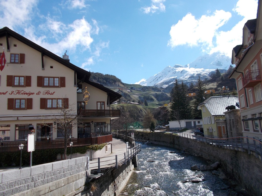
It was still chilly, but after weeks of snow, rain, and other meteorogical unpleasantries, a sunny day was most welcome. Just in time for us to start our ride.
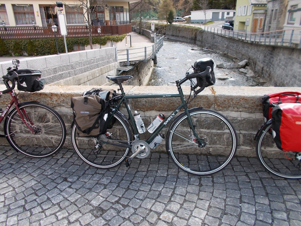
Wheeling my Surly Disc Trucker into the sun, I felt that gentle apprehension one feels when embarking on something big. The Rhine meanders through six countries over more than 1000 kilometres on its way to the sea, and I was about to see every inch of it from the seat of my bike. Whispering a prayer to the demigods of cycling, I jumped into the saddle and peddled down the street, companions #1 and #2 close behind.
Not even 200 meters from our overnight accommodation, the route starts with an ascent. Nothing too painful, just 610m of steady elevation gain over 10km. Slow. Steady.
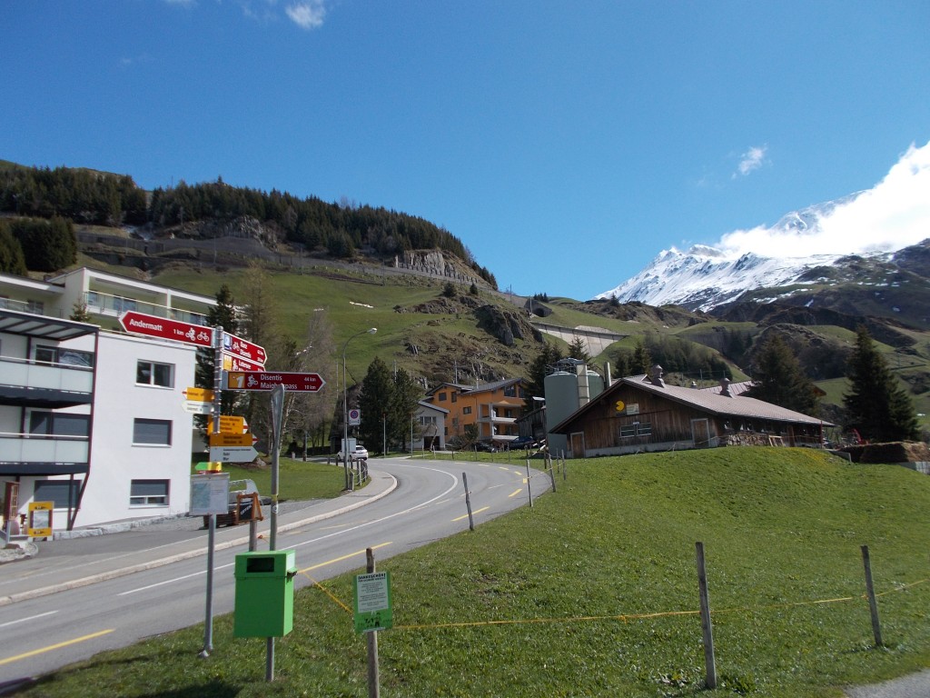
It was always important to me to start the ride with the climb. Though not a large climb by cycling standards, since the very start of my trip planning, I always felt that starting uphill gave license to the vast distance that lay beyond. It’s a rite of passage.
As we left the outskirts of Andermatt on our way up the hill, the scenery became astonishingly good. Switzerland is unbelievably pretty. We pulled over to take pictures.
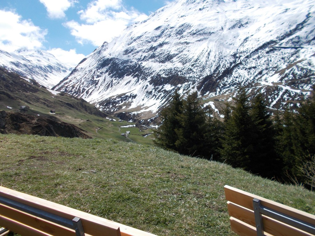
The switchbacks continued up the mountain side. Traffic on the roadway was light, we were making good time, and despite the constant upward push, I never once regretted the decision to start the ride with a lengthy hill. The views and the fresh air made it completely worthwhile.
As our elevation grew, so did the snow pack. Sunny as it was, I reflected momentarily that Winter had only just vacated the region, and it would be entirely possible for us to find ourselves riding in a short blizzard over the next few days. In that very moment I was wearing my full fingered gloves, merino wool undergarment, jersey, rain coat and rain pants. Had I not been torquing my bike up a hill, I may have even been a bit cold. I had seen it written multiple times that planning a ride to the top of Oberalp pass before May is a gamble. It seems we had been very lucky. Days earlier, the road was probably impassible by bike.
Cresting a steeper incline and rounding a bend, the Glacier Express train that goes over Oberalp pass roared past with a slew of happy faces pressing their noses against the train’s glass to take in the view. We waved. They waved back. Jealous of the people on the train? Not in the slightest. Seeing Oberalp pass from a bike seat is THE way to see Oberalp pass.
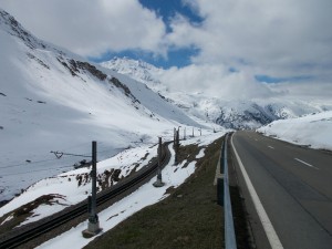
With the incline shallowing, the oft photographed lodge at the summit of Oberalp pass came into view, its proudly Swiss architecture beckoning across the snowy valley. We were nearly there.
Plunging into a dimly lit tunnel, I hear #1 yell, “Ice!”.
Oh goody! Nothing like the thought of encountering nearly invisible ice in a dark tunnel to spice up the moment. Tightening my stance, I rode over several slippery sections and emerged still on two wheels. A few minutes more and we reached the summit.
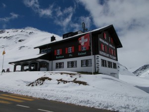
Climb completed.
At this point it would have been perfectly acceptable to snap a few pictures and begin our descent down the other side. I didn’t come to Europe just to ride though; I came to eat as well. Best to stop in at the Oberalp pass lodge for a bowl of soup. Good soup it was, too.
A few steps from the lodge is the seemingly second most photographed object on Oberalp pass; the curious lighthouse positioned at the true summit of the pass road.
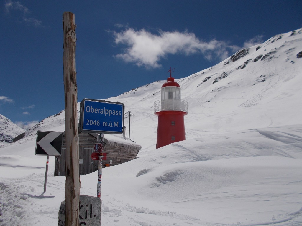
Looking up into the mountain I pondered how nice it would have been to also make the hike up to Tomasee, the true source of the Rhine. I guess I’ll have to come do this ride again further into summer.
Soup consumed and windproof jacket donned we gingerly began our 20 km descent to Disentis. Glancing ahead, I see a sequence of tight hairpins that snake down the mountain. The scene would be right at home in any James Bond film. What a great place to be riding a bike.
Getting ever more comfortable on the Surly, multiple kilometres of road whooshed past on the descent. The hairpins were dealt with in mere minutes of short bursts of speed followed by hard braking to corner. Excitement was reaching a peak. I dashed into each successive hairpin with increasing vigour, my disc brakes whistling as they slowed my heavy-laden bike. I dared not stop for pictures; to interupt the continuity of such a descent would be catastrophically irreverent to the thrill of the moment.
Emerging from the hairpins, the road straightens but never levels. The decline continues for kilometre after kilometre. Surpassing 40km/h, I felt the Surly’s Chromoly frame flex and twist as we devoured the tarmac. What a bike! The frame of the bike was pure magic. I couldn’t believe how confident everything felt plummeting down the road with my 190 lbs in the saddle and 30lbs of gear over the rear wheel.
45km/h.
I can hear my panniers whistling in the wind as they compromise my aerodynamics.
50km/h.
The road narrowed and a bit of wind came up. Just about to crest 55km/h I got antsy and started scrubbing off some speed. No need to have an off on day one.
Fingers near frozen from the icey air, we pull in the first tiny town we encounter to catch our breath. I can’t feel my hands. Don’t care. Such fun!
Turning around, we look upwards at the road we had just plummeted down. The summit is no longer in view. Like the Rhine, we had begun a one-way journey out of the pass.
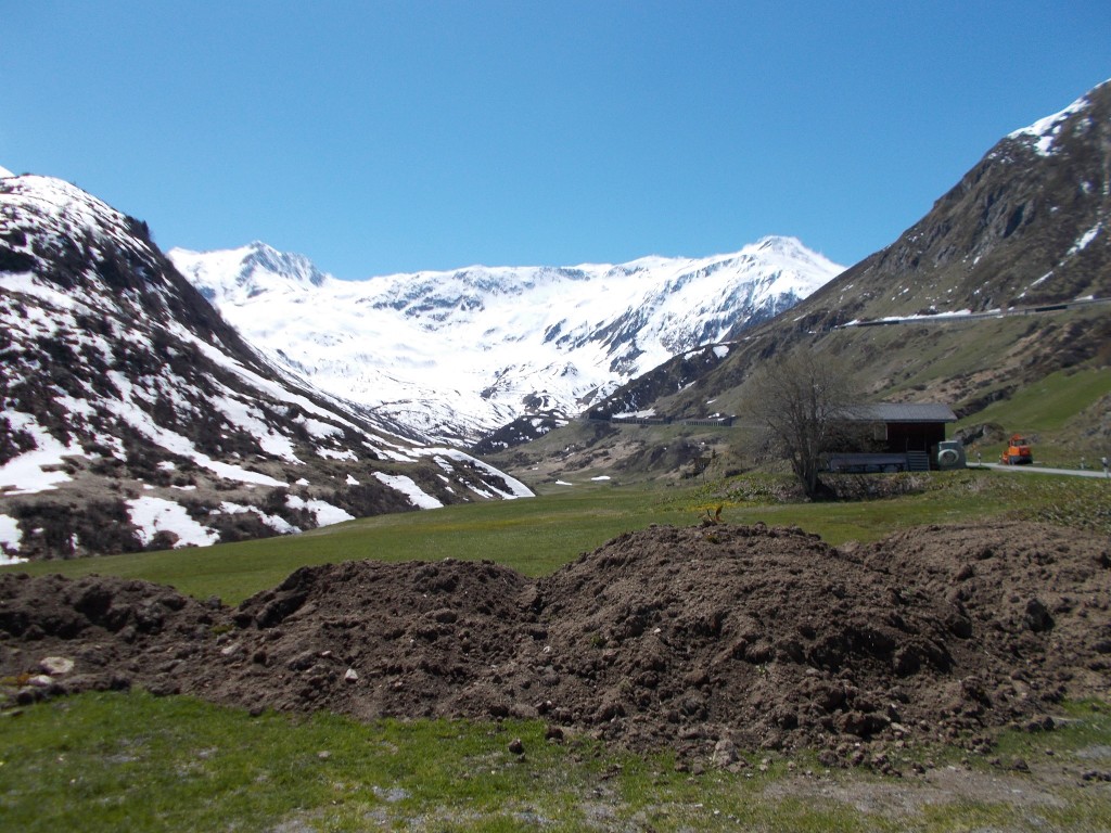
Back on the bikes, the road descends further still before bursting into a beautiful Swiss farming countryside. We pulled over again to take pictures. Move here? In a heartbeat. I briefly considered tossing my possessions into the ravine and starting life as a Swiss farmer. What a beautiful place.
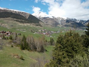
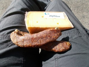
Descending further still, we made a ceremonial pitstop at rivers edge to collect some virgin waters of the Rhine, which at this point is but a stream. Then, on the climb back to the main road we bought some delicious cheese (Alpkäse), jam (elder berry), and sausage from a delightful older gentleman selling his creations from an unassuming fridge leaning against his house. We found many such farmers who were selling small quantities of the home-made goods right from their farms. The prices are incredibly reasonable and the quality outstanding.
By then, small farming villages dotted the route, each as picturesque as the one before. The air smelled of cows. Loving every minute.
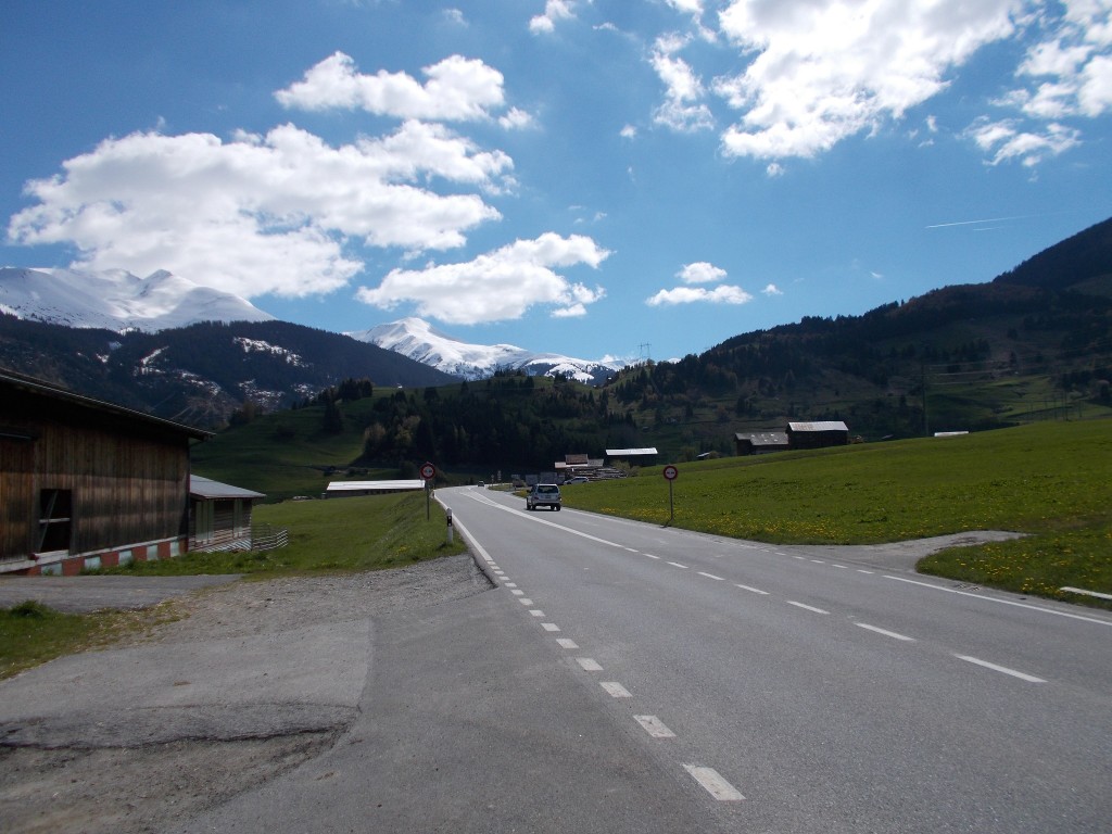
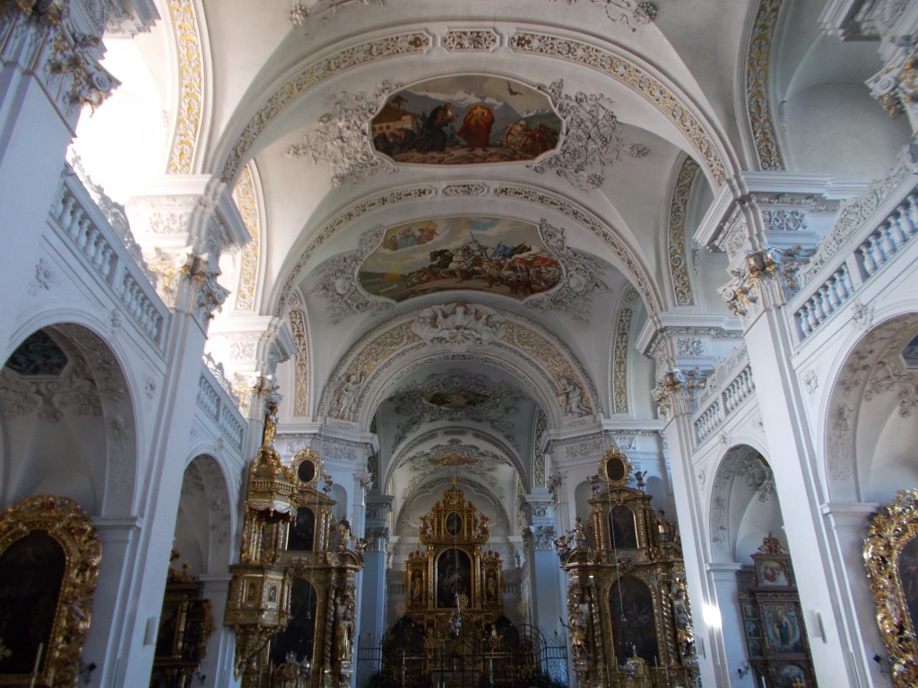
Then, seemingly just a few pedal strokes more, Disentis at last. Checking into the hotel, we stashed the bikes and set out on foot to explore the town. The town was beautiful, with the interior of Disentis Abbey being a particular treat.
As the sun began to set, we parked ourselves on a bench across from the Abbey to feast. #1 whipped out his pocket knife and dispensed sections of sausage. Best I’ve ever had.
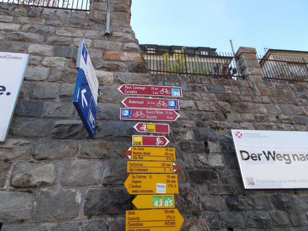
Walking back to the hotel, we pass a signpost filled with route markers for the region. A subtle reminder that our ride had just begun.
Loving the Surly. Loving the ride. More!
Stats:
Day’s distance: 34.53km
Seat time: 2:21
Max speed: 54.3 km/h
Times contemplating the great fortune of those who call this part of the world home: innumerable.
A very interesting and helpful account. I am glad you enjoyed the trip.
Thanks. Glad you enjoyed it.
I am contemplating doing the EV15 next summer. A wonderful description. If it does sound daunting for an aged novice like me.
How much of the route is covered by dedicated cycle lanes?
I’d say roughly half of the route is on dedicated cycle lanes or cycle paths. The rest is on quiet roads. I rarely felt at much risk from nearby vehicles – the locals are very courteous towards cyclists.